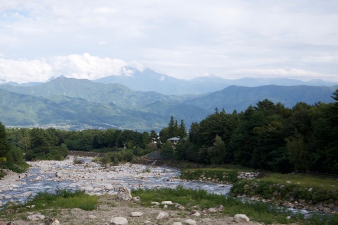
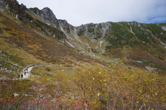
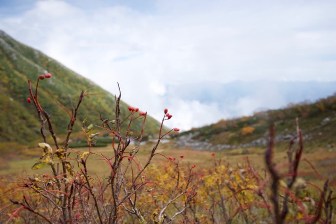
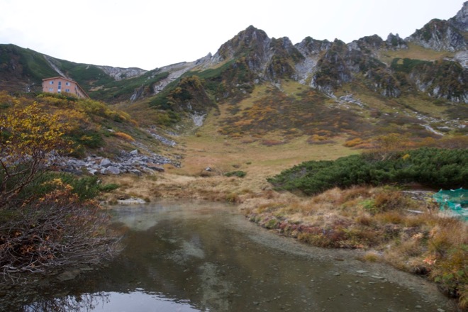
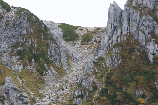
Tentative – explanations & pictures to be added / 暫定版 – 説明文・写真追加予定

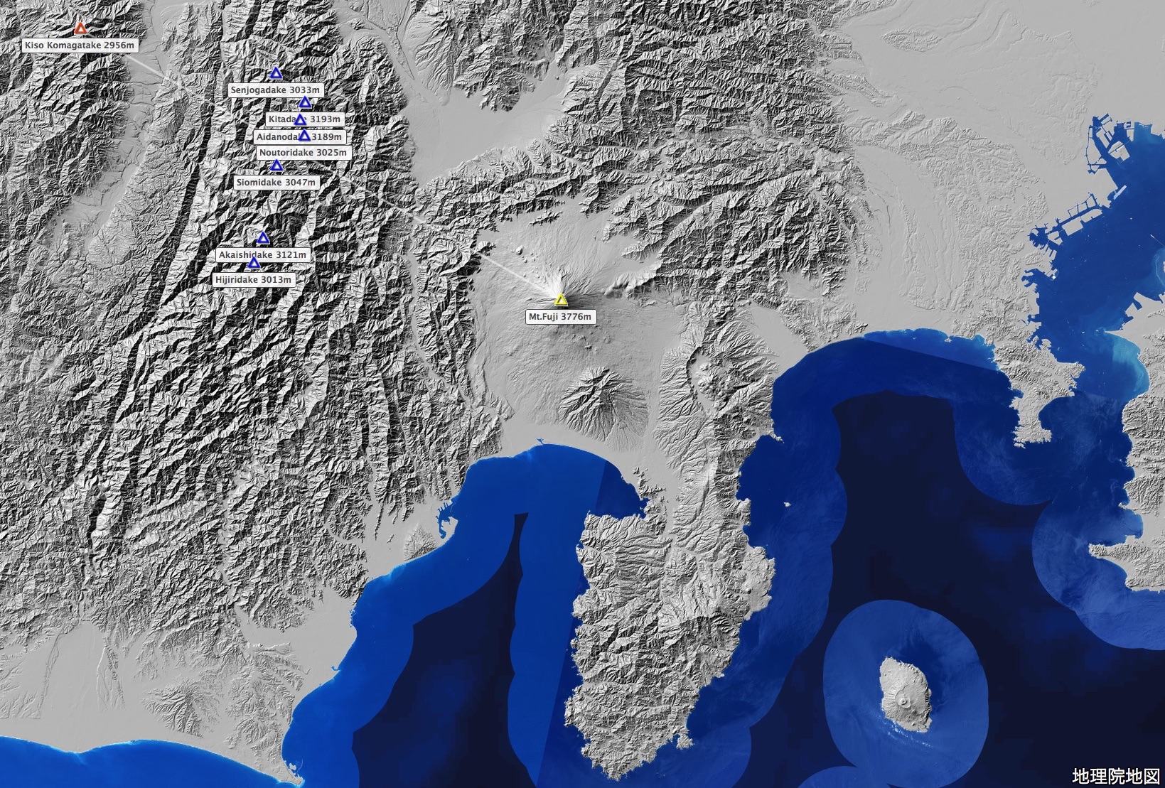
出典:国土地理院ウェブサイト「地理院地図」(陰影起伏図)(注記は編者による) / Source of the map : GSI Map, the GSI web site ( the shaded elevation map , with notes by this editor )
with an introductory natural history / avec une histoire naturelle introductive / 小博物誌付き
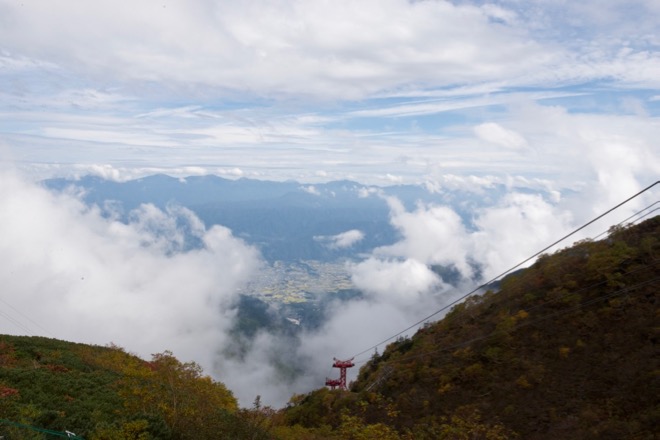
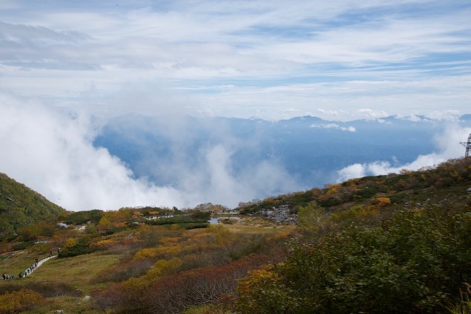
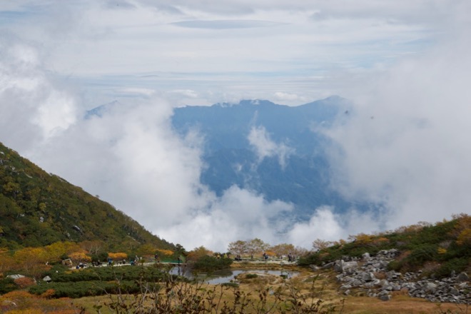
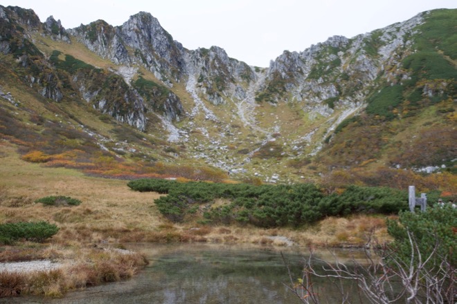
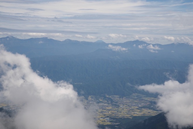
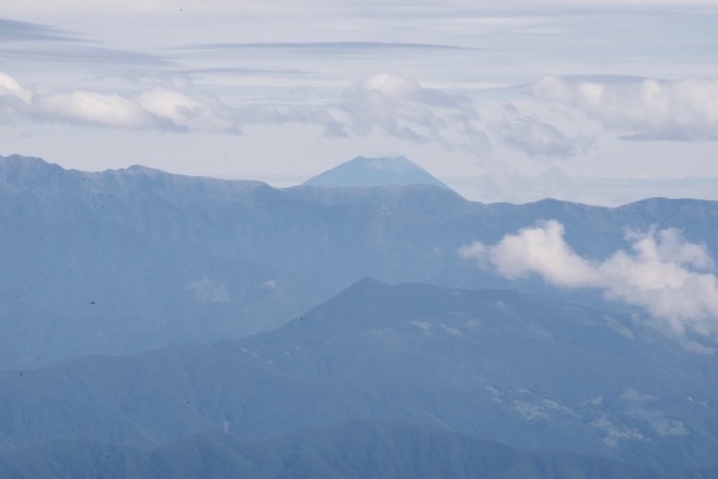
Tentative – explanations & pictures to be added / 暫定版 – 説明文・写真追加予定
出典:国土地理院ウェブサイト「地理院地図」(陰影起伏図)(注記は編者による) / Source of the map : GSI Map, the GSI web site ( the shaded elevation map , with notes by this editor )