
Tentative – pictures and explanations being added / 暫定版 – 写真・説明文追加中
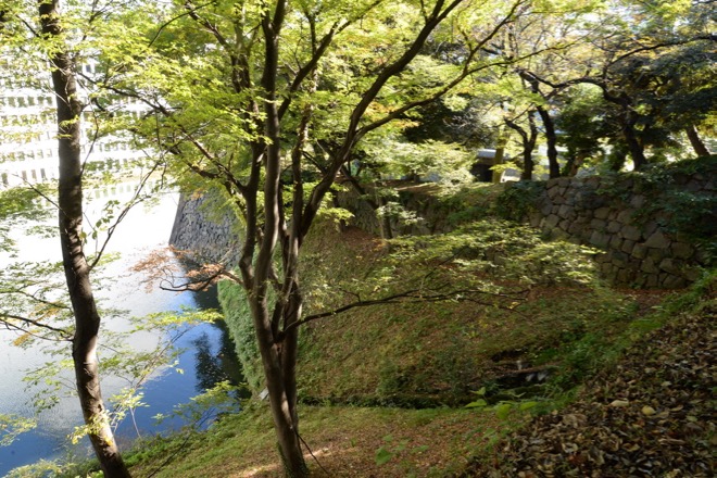
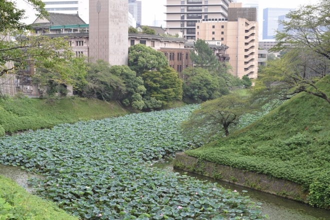
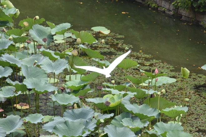
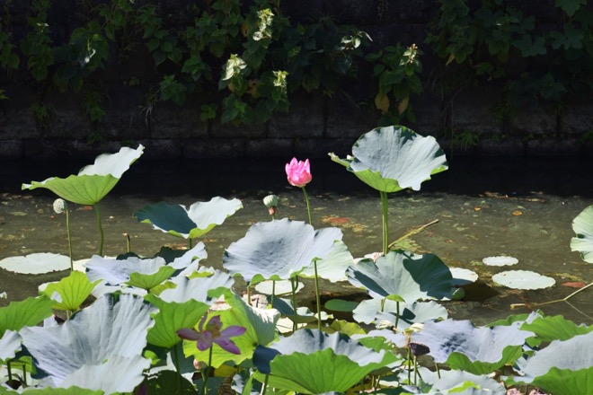
皇居(旧江戸城)北側の風景
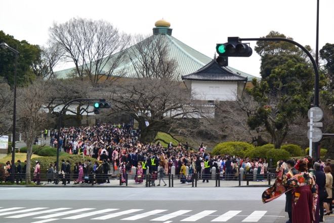
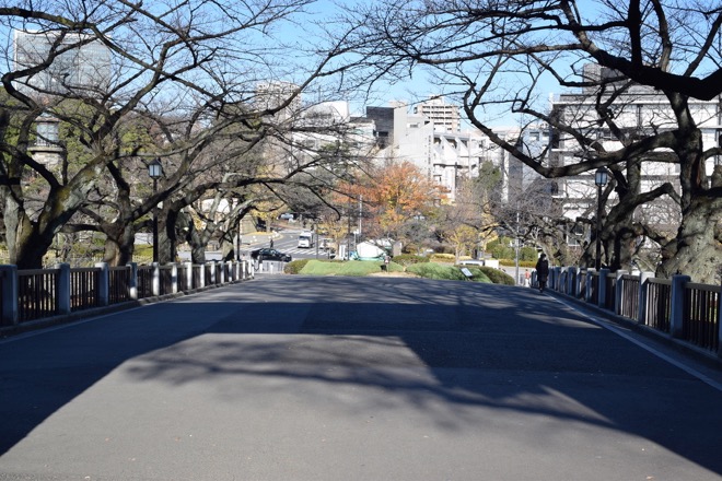
March. A college graduation ceremony held at Budokan is just over. The students are coming out of Tayasu-mon Gate of Kitanomaru Park ( former north compound of Edo-jo ) and walking down to Kudan-zaka ( Kudan slope ). Down the slope there is subway Kudan-shita Station. / 3月。武道館での卒業式が終わり、学生たちが田安門(北の丸公園〜旧江戸城北の丸)から九段坂に出てきたところ。坂下に地下鉄九段下駅がある。
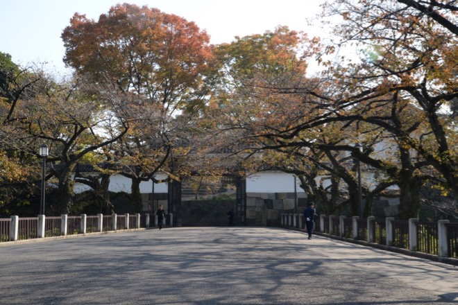
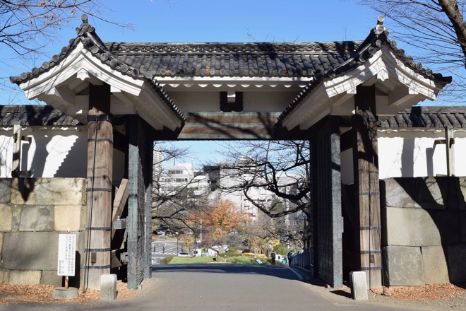
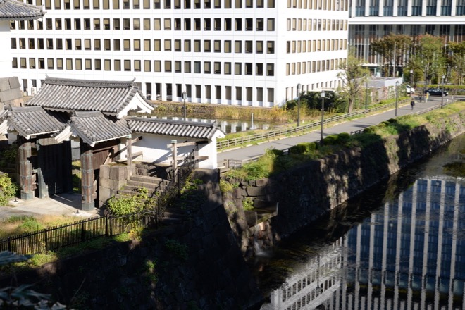
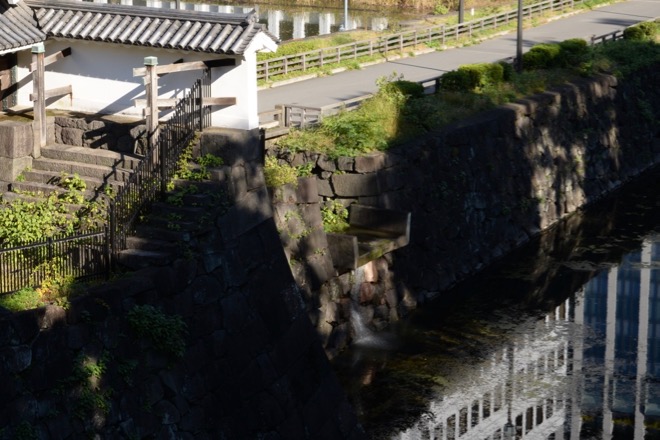
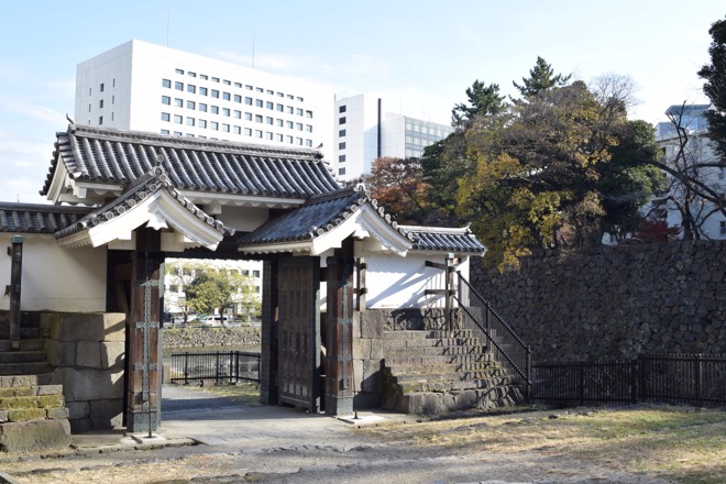
November. Tayasu-mon Gate of Edo Castel viewed from outside. “Mon (門) “ means “gate”. / 11月。江戸城田安門を外側から撮影。
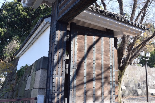
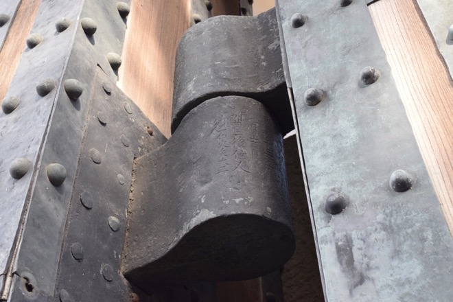
Tayasu-mon Gate viewed from inside. Notice the door hinges of the gate. The year of make and the name of the builder are engraved on them. It says, they were made in the 13th year of Kan-ei ( 1637 ) by an artillery builder in Bungo Dominion ( present-day Oita Prefecture ), Kyushu island. / 田安門を内側から撮影。門扉の蝶番(ちょうつがい)に注目。製造年と製造者名が刻印されている。寛永十三丙巳暦[1637年]九月吉日 九州豊後[現在の大分県]住人、御石火矢大工[大砲製造職人]・・・等と読める。
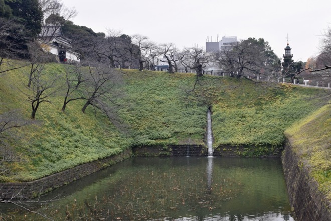
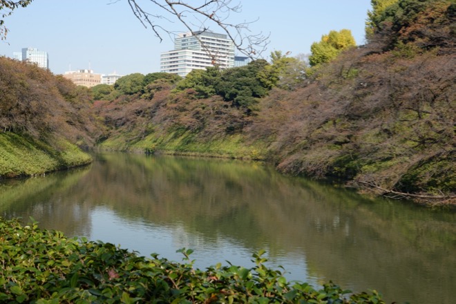
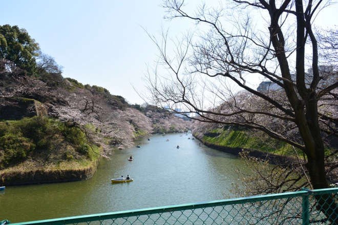
Ushigafuchi moat / 牛ヶ淵
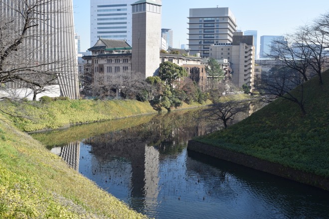
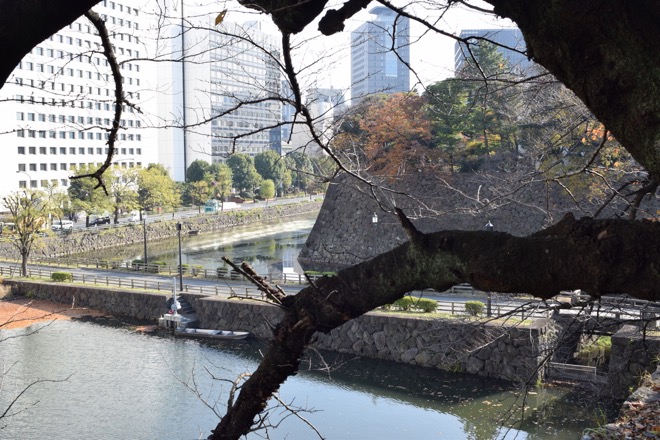
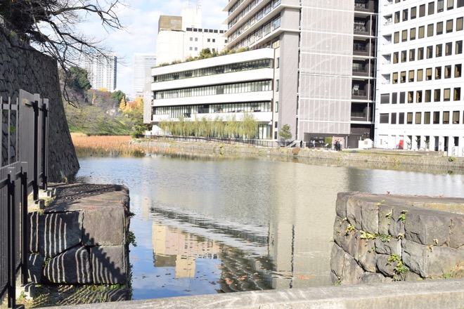
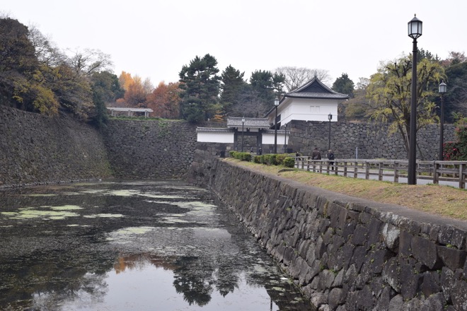
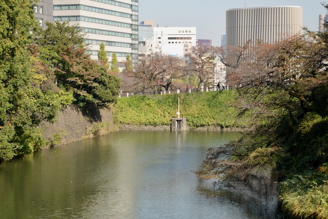
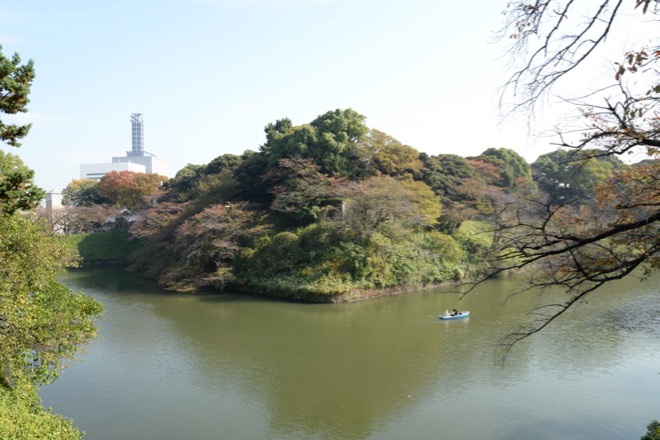
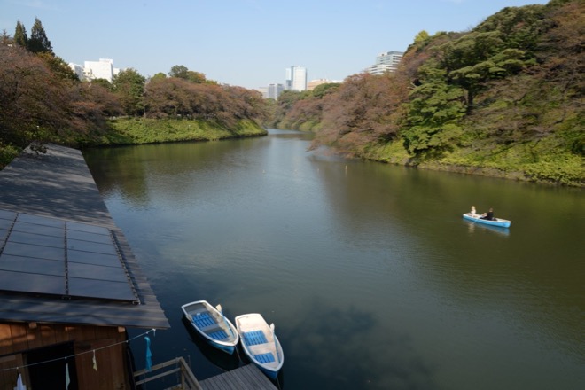
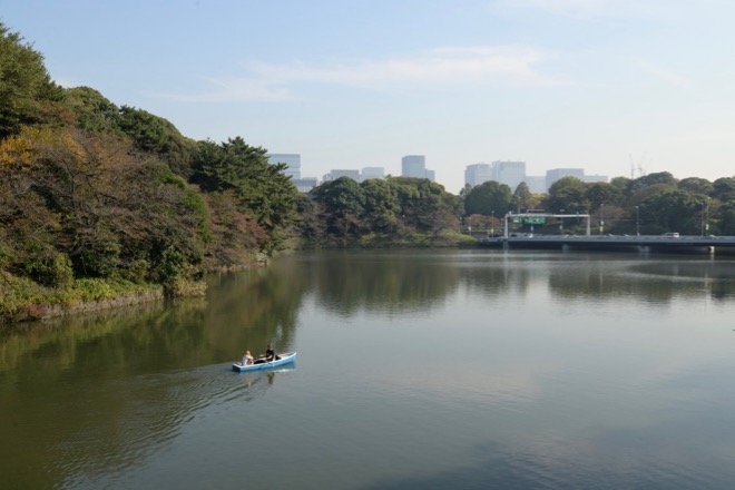
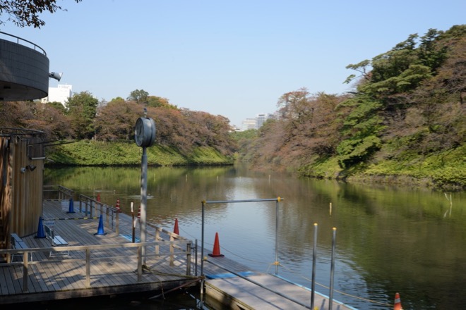
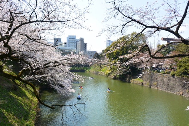
Chidorigafichi moat /千鳥ヶ淵
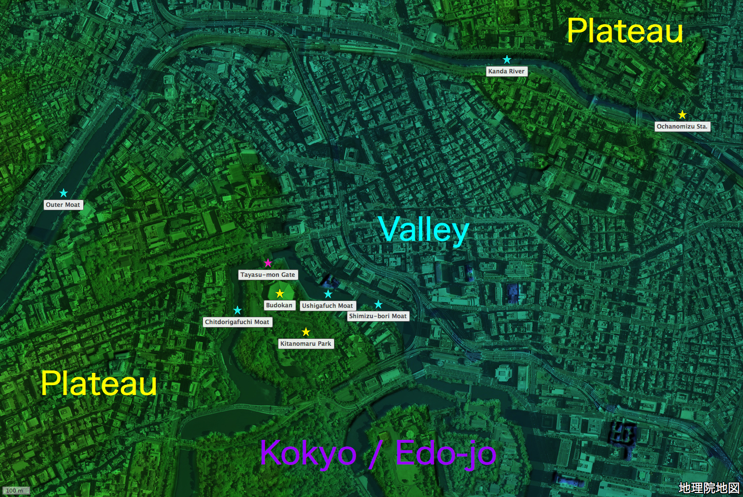
地図の出典:国土地理院ウェブサイト「地理院地図」(「航空写真(単色)」と「色別標高図」を重畳。注記は編者による。)/ Source of the map : GSI Map, the Government of Japan ( The monochromatic aerial photograph and the colored elevation map superimposed. The marks and the remarks are added by the editor )
To return to the home page, click the bird photo / website logo above or the website name below.