– The mother of Tokyo’s plateau
多摩川 – 武蔵野台地の母
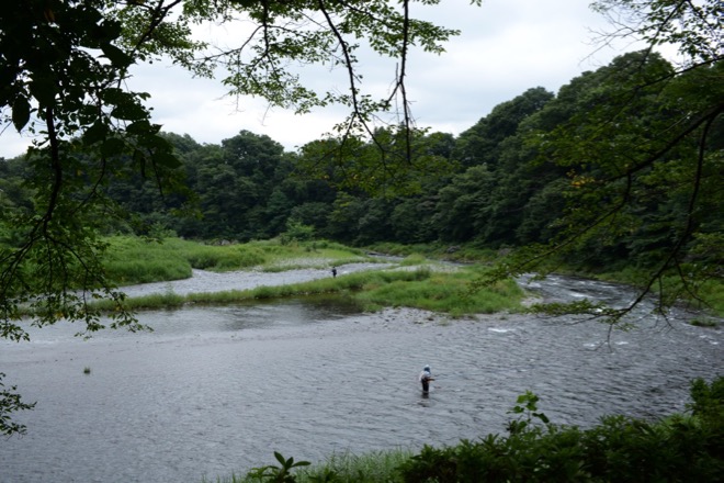
Tama River at Ome, 37ml from the estuary
/ 青梅駅付近の多摩川(河口から約60km)
The map below is to show the approximate route of Tama River by placing blue icons ( with the names of the place ) along its way from the head to the estuary. As the map shows, the present-day Tama River generally marks the southern extremity of Musashino Plateau. / 下の地図は、多摩川のおおよその流路を、水源から河口に至るまでの通過点のいくつかに青色アイコン(とその場所の名称)を付することで、示したものである。地図から分かるように、現在の多摩川は、青梅の下流から河口のある東京湾岸に至るまで、概ね、武蔵野台地の南縁を画している。
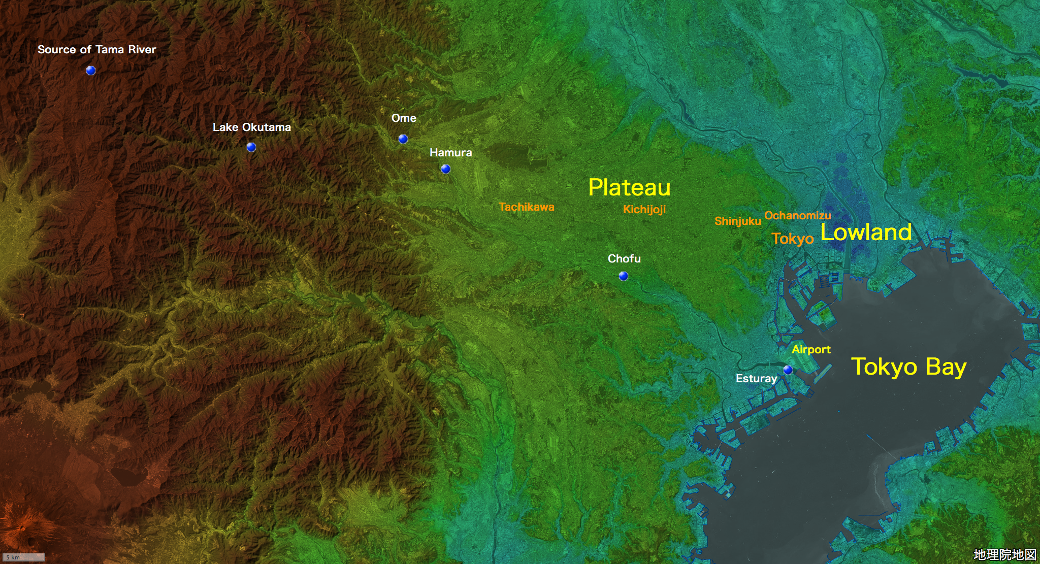
地図の出典:国土地理院ウェブサイト「地理院地図」(「航空写真(単色)」と「色別標高図」を重畳。注記は編者による。)/ Source of the map : GSI Map, the Government of Japan ( The monochromatic aerial photograph and the colored elevation map superimposed. The marks and the remarks are added by the editor )
Musashino Plateau is in fact a huge alluvial fan whose apex is located at Ome, created by a once-existed Old Tama River, of which today’s Tama River is thought to be one of the remnants. As soon as it emerged as a dry land, volcanic ash from Mt. Fuji started to pile up on it and thus, over tens of thousands of years, created Musashino Plateau today. Therefore, at Musashino Plateau, underneath the thick layer of ash of on the surface, you will find a layer of gravel left by Old Tama River, whose composition is quite similar to that of today’s Tama River. / 東京の台地(武蔵野台地)は、実は、かつて存在した、「古多摩川」と呼ばれる水系が作った、巨大な扇状地(日本最大)である。青梅駅付近が、その扇頂に当たる。かつて、この扇状地が陸になったときから、富士山の火山灰が、少しずつ、その旧河床を覆うようになった。以来、数万年の時を経て、火山灰の地層は、現在の厚さとなり、今日の武蔵野台地の姿を作った。それゆえ、武蔵野台地の厚い火山灰の地層の下には、現在の多摩川の河床や河原にみられるものとよく似た、砂礫の地層が見出される。
Old Tama River has left many remnants on Musashino Plateau, among which today’s Tama River is one and the largest. The followings are the pictures of Tama River taken at the four different locations indicated with the icons in the map above ( Ome, Hamura, Chofu and Kawasaki City, Kanagawa Prefecture, the estuary) . / 古多摩川は、東京の台地に、いくつもの名残川を残している。今日の多摩川も、そのひとつであり、かつ、最大のものである。以下の写真は、上の地図に青色アイコンで示した4つの地点(青梅、羽村、調布、河口)で撮影した、多摩川の風景である。
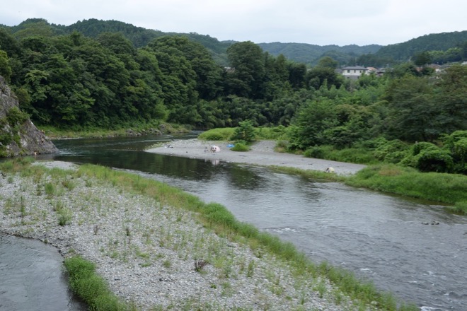
#1 Ome / 青梅
August / 8月
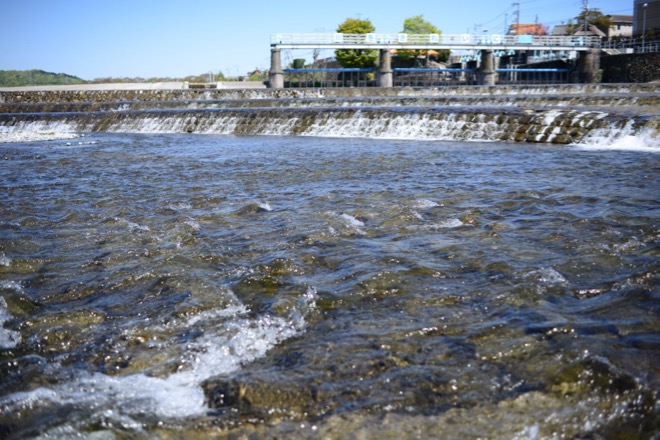
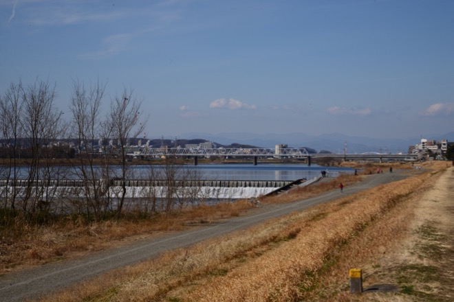
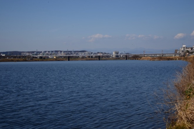
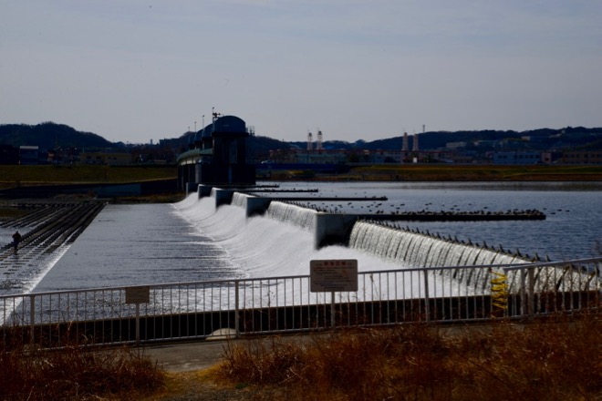
#2 Hamura / 羽村
32ml from the estuary / 河口から53km
April / 4月
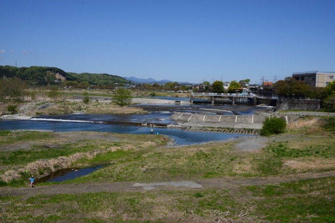
The facility seen on the right is the intake for the Tama-gawa-josui waterworks. / 右手に見える施設は、玉川上水の取水口。
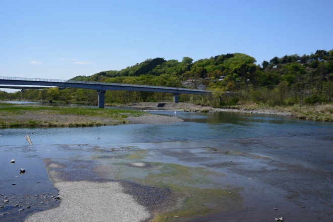
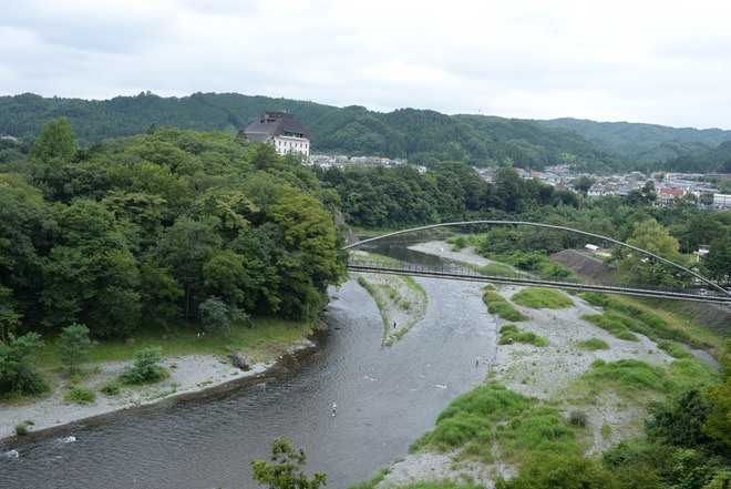
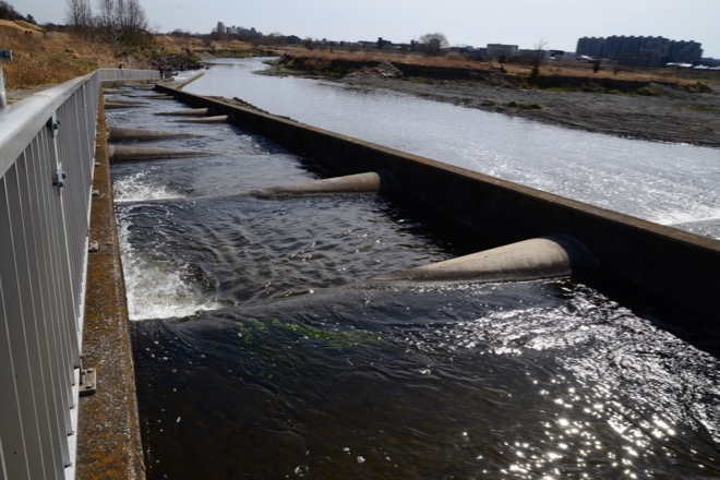
#3 Chofu / 調布
17ml from the estuary / 河口から28km
July / 7月
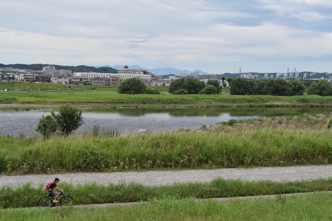
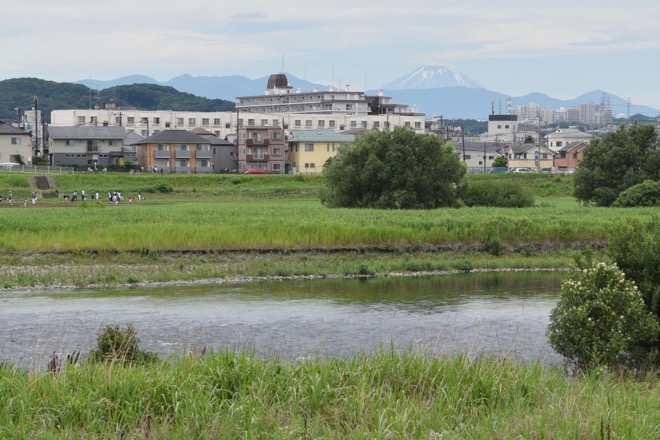
Notice Mt.Fuji in the back ground. / 背景に富士山が見える。
February / 2月
16ml from the estuary / 河口から26km
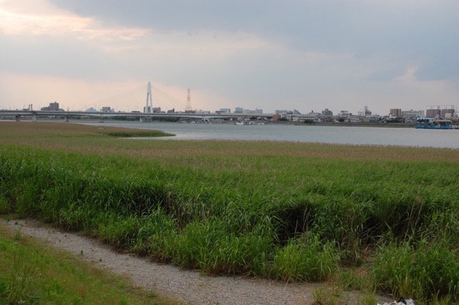
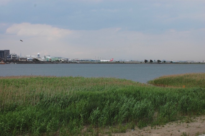
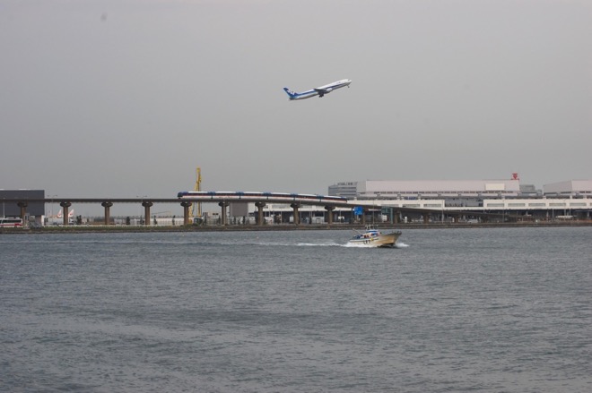
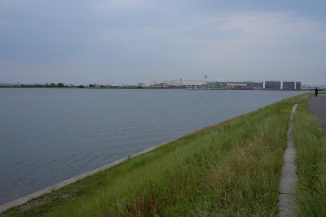
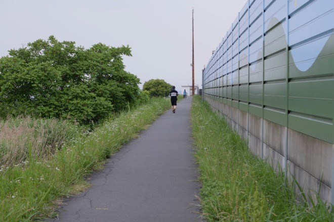
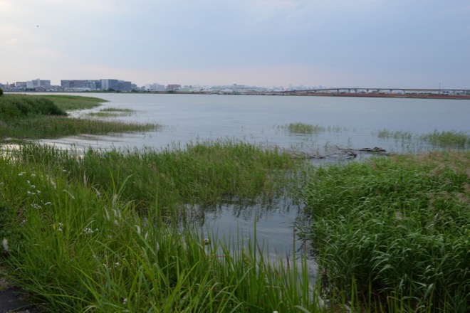
#4 Estuary / 河口
Photographed from the right bank (Kawasaki City, Kanagawa Prefecture) / 右岸(川崎市)から撮影
June / 6月
Haneda Airport ( Tokyo International Airport ) is seen on the left bank. / 左岸に羽田空港(東京国際空港)が見える。
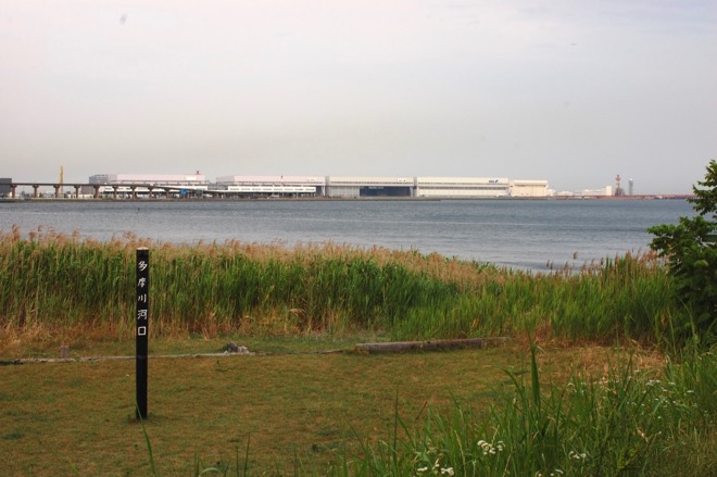
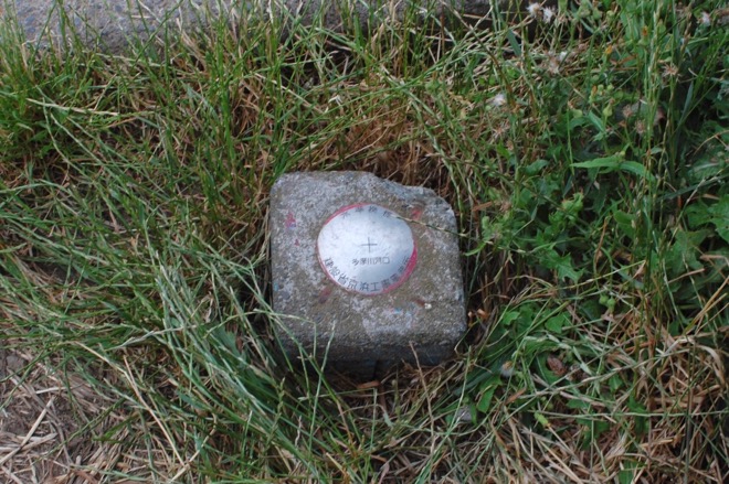
The post above says, “The mouth of Tama River”. / 「多摩川河口」を示す杭。
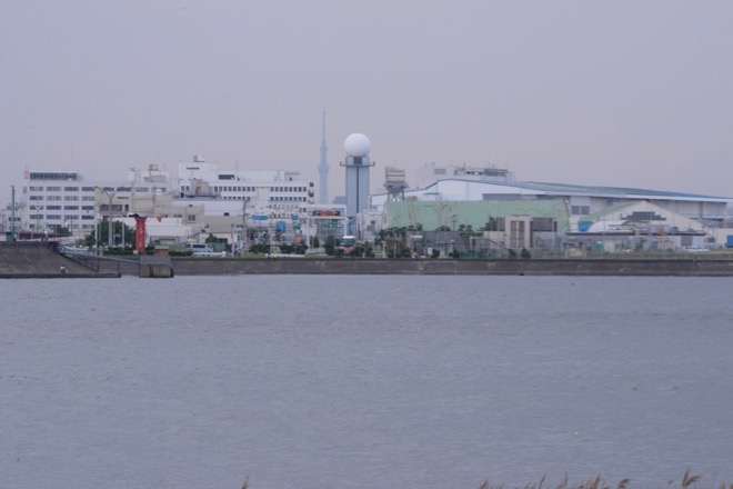
Behind the airport facilities, Tokyo Sky Tree is seen. / 空港施設の後ろに、東京スカイツリーが見える。
There is a marker to indicate the location of the estuary at the end of the sidewalk along the right bank. / 右岸の歩道の終点に河口の位置を示す標識がある。
Previous overviews
# 1 Mt.Fuji – the father of Tokyo’s plateau / 富士山 – 東京の台地の父
# 2 The plateau – “Musashino Daichi” / 東京の台地 – 「武蔵野台地」
This overview
# 3 Tama River – the mother of Tokyo’s plateau / 多摩川 – 東京の台地の母
Next Overview
# 4 Maps & Geography / 地図と地理