
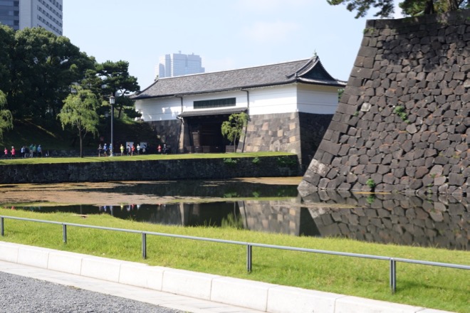
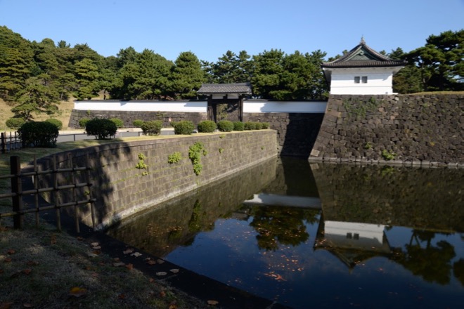
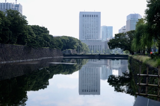
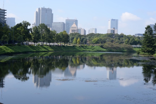
Tentative – explanations to be added / 暫定版 – 説明文追加予定
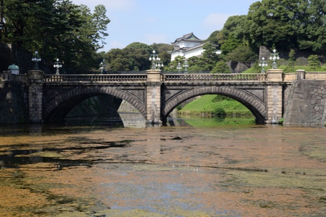
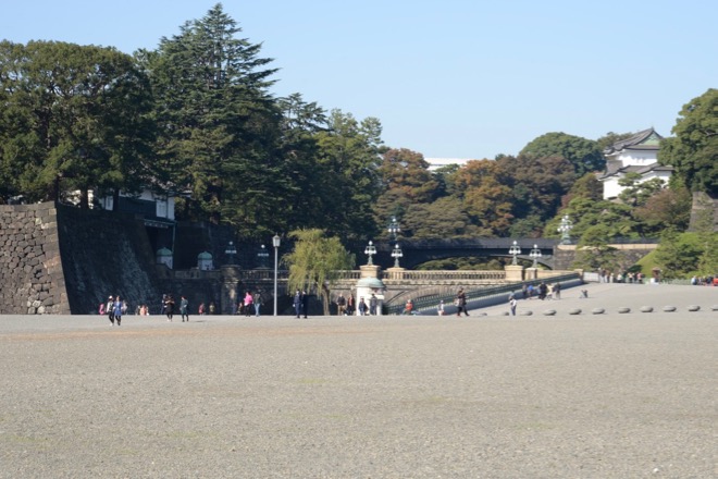
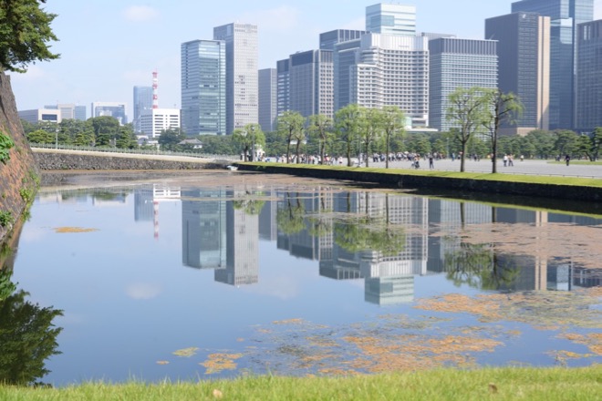
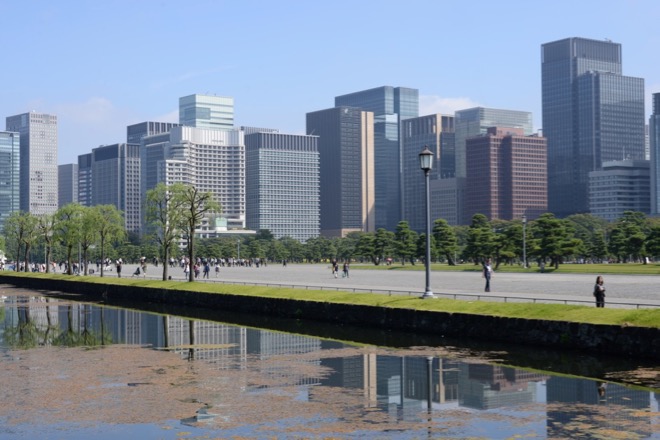
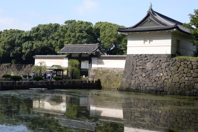
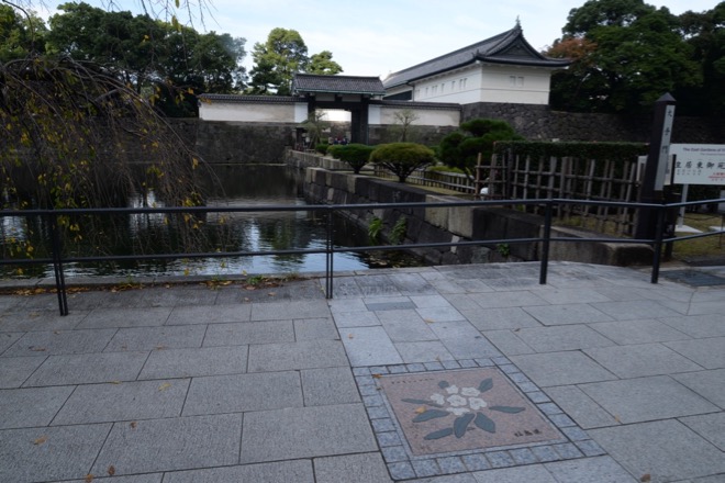
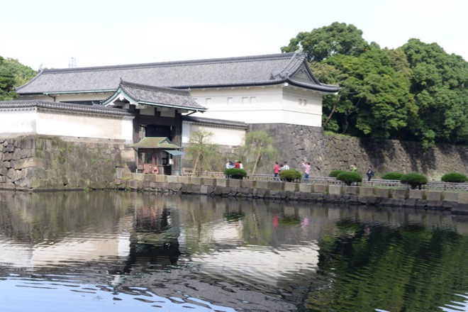
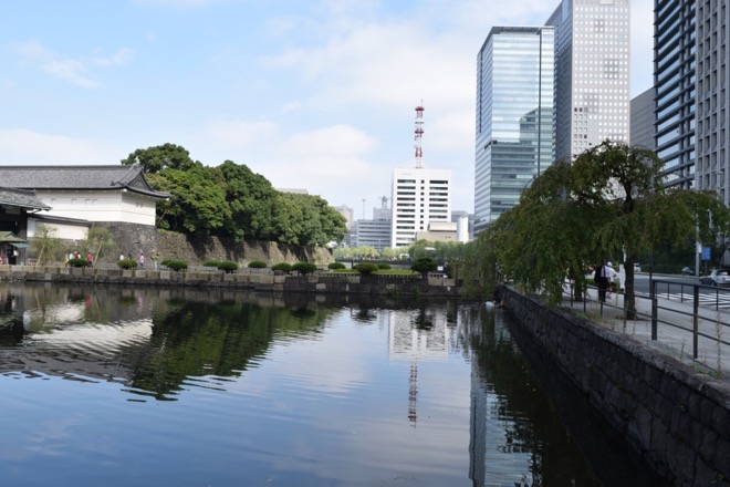
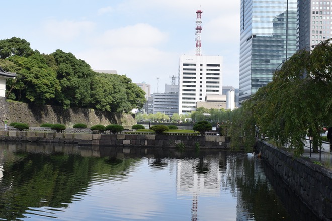
皇居(旧江戸城)東側の風景
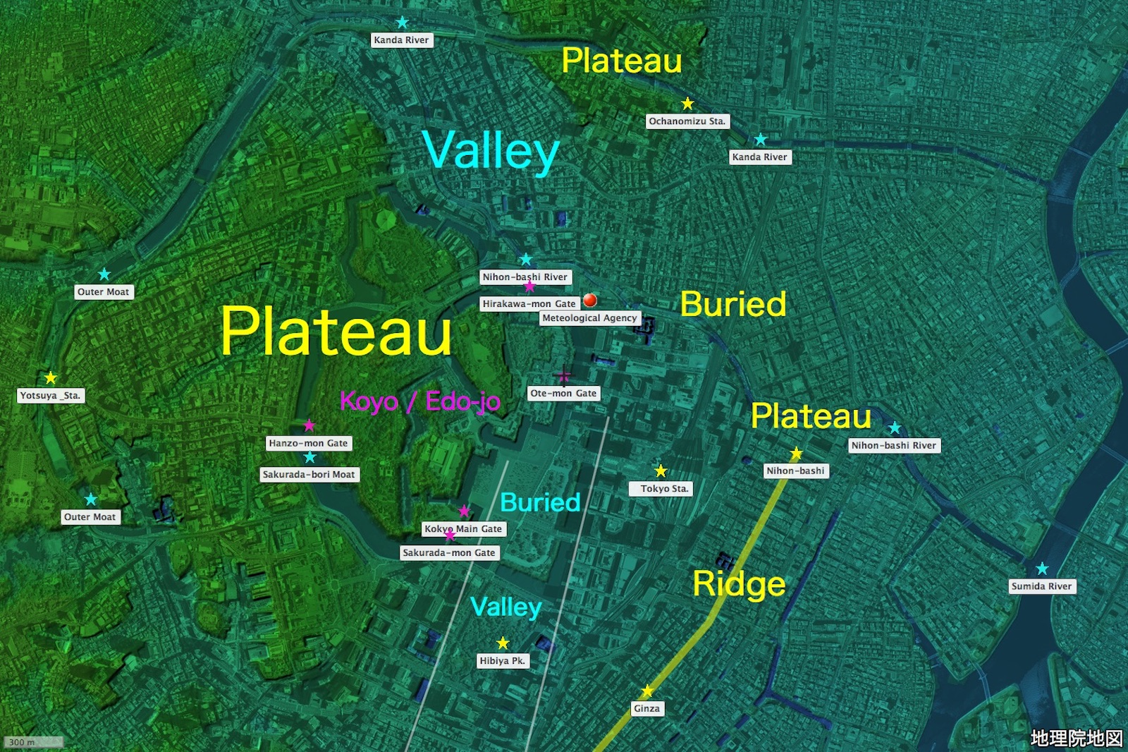
地図の出典:国土地理院ウェブサイト「地理院地図」(「航空写真(単色)」と「色別標高図」を重畳。注記は編者による。)/ Source of the map : GSI Map, the Government of Japan ( The monochromatic aerial photograph and the colored elevation map superimposed. The marks and the remarks are added by the editor )
To return to the home page, click the bird photo / website logo above or the website name below.